Mayerlrampe - Grossglockner

 1 / 2
1 / 2
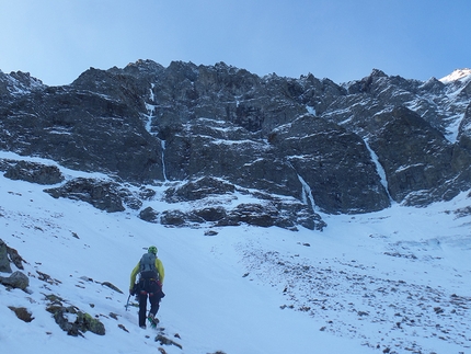
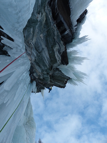
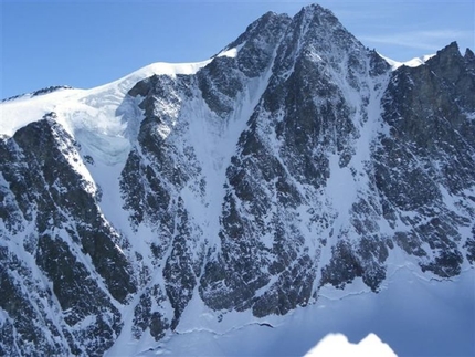
Mayerlrampe: Mayerlrampe: seen from the bivy
 Planetmountain
Beauty


First ascent
Sepp Mayerl, H. Lindner, H. Messner, 1967
By
Vittorio Messini, Mountain Guide Kals am Großglockner
Orientation
North
Height
3798m
Difficulty
60°ice, III rock
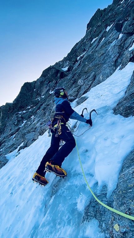
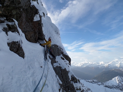
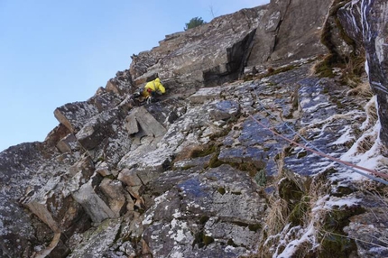
Mayerlrampe gets its name from legendary East Tirolean alpinist Sepp Blasl Mayerl who made the first ascent of this spectacular line together with H. Lindner and H. Messner in 1967. Since Blasl's first ascent - also known as Reinhold Messner's teacher, this fully north facing route hasn’t undergone any dramatic changes. Often in good condition, Mayerlrampe tends to be less exposed to falling rocks that Pallavicini since it remains in the shade throughout. The ice sections are slightly harder than Pallavicini and for many years this route acted as the final exam of the Austrian Mountain Guides. All of these factors render the Mayerlrampe a beautiful, five-star climb!
Access
1) From Munich or Verona via the Brenner motorway, exit at Bressanone. Drive through the Pusteria valley to reach the Italian-Austrian border. Continue from here past Lienz towards Heiligenblut to reach the Glocknerstrasse. After the toll station continue along the beautiful mountain road to the car park.
2) From Munich to Salzburg, then continue south to Bischofshofen. Leave the motorway here and drive through the Salzachtal to reach Fusch. From here take the Glocknerstrasse, after the toll station follow the the beautiful mountain road to to the car park. Descent
Descend down the normal route and return to the car park. Notes
Those less experienced or without a climbing partner can be accompanied up the North Face by the local Kals Mountain Guides. Maps/Bibliography
Map: Austrian Alpine Club (AV Karte Nr. 40 Glocknergruppe).
Guidebook: "Glocknergruppe und Granatspitzgruppe" by Willi End, publishing house "Bergverlag Rother".
 Comments
No comments yet...
Beauty


First ascent
Sepp Mayerl, H. Lindner, H. Messner, 1967
By
Vittorio Messini, Mountain Guide Kals am Großglockner
Orientation
North
Height
3798m
Difficulty
60°ice, III rock
Routes in the same mountain group
Related news


 Copia link
 Vittorio Messini, Mountain Guide Kals am Großglockner

