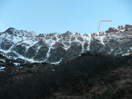
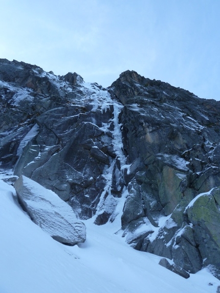
Mehr denn je Hintersee - Hochbirghöhe

 1 / 13
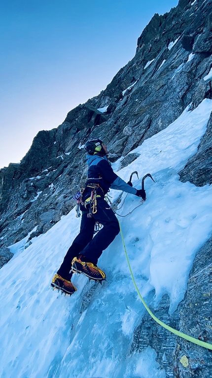
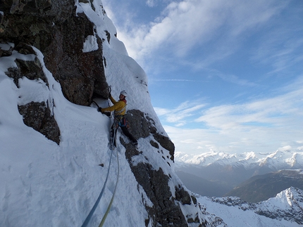
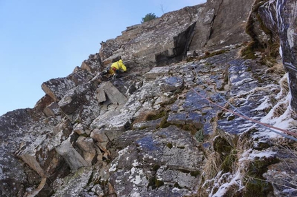
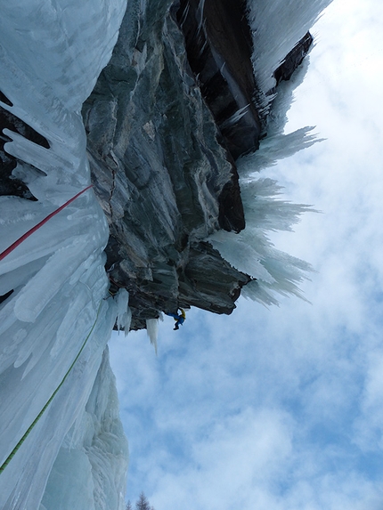
Mehr denn je Hintersee: During the first ascent of Mehr denn je Hintersee, Hochbirghöhe, High Tauern, Austria
 Planetmountain
Beauty


First ascent
Vittorio Messini, Isidor Poppeller, Matthias Wurzer, 08/12/2016
By
Vittorio Messini, Mountain Guide
Orientation
NE
Length
800m
Height
2767m
Difficulty
M7+ WI6+
An absolutely amazing climb, comparable to many long famous alpine outings. With its thick ice column, narrow gully, thin drip and steep mixed climbing, Mehr denn je Hintersee has it all!
Getting there
From Zell am See drive towards Mittersill, then follow the Felbertauernstraße road to Wolframkehre (180° hairpin bend). Park close to the barrier. (1025m) Access
In winter the road to Lake Hintersee is officially closed, but sometimes cleared of snow to Wolframstollen or the lake. If there is no snow, a mountain bike or e-bike reduces the approach time to just 1 hour! Follow the road for 4km to reach Hintersee and then continue up valley along the marked path (917A) until this leads left away from the river bed. Continue up the river bed to the base of the climb. Itinerary
Big ice and mixed climb up the NE Face of Hochbirghöhe. The first 200m offer gentle WI4 climbing. Climb straight up the snow slope (watch out for snow conditions) past two short steps (WI2). After 5 steep pitches the first ascentionsits trended leftwards for a further 3 pitches to reach the gully again. Now follow the easiest line past M3 70° ice to the the summit. Descent
Either descend on foot into the Hollersbachtal valley or abseil down the line of ascent. All rock belays are equipped. Descent circa 3 - 3,5 hours. Gear
Full ice climbing rack, 1 set of friends and nuts, a selection of pegs and hammer.
 Comments
No comments yet...
Beauty


First ascent
Vittorio Messini, Isidor Poppeller, Matthias Wurzer, 08/12/2016
By
Vittorio Messini, Mountain Guide
Orientation
NE
Length
800m
Height
2767m
Difficulty
M7+ WI6+
Routes in the same mountain group


 Copia link
 Vittorio Messini, Mountain Guide


 See all photos