Vallon Polset

 1 / 4
1 / 4
Vallon Polset: © Cesare Cesa Bianchi
 Planetmountain
Beauty


By
Paolo Tombini, Mountain Guide
Ascent height difference
100m
Descent height difference
1700m
Height
3144m
Difficulty
Very difficult the couloir variation, on the whole a difficult descent.
Time
A full day
Departure
Val Thorens, Col cable car
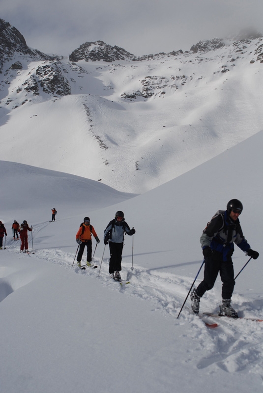
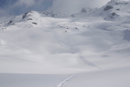
Vallon Polset is a beautiful descent, a long way away from the lifts, ideal for those searching for a complete and difficult descent with slopes up to 40°. After the brief ascent with climbing skins you need to carefully analyse the slope below. We recommend mountaineering equipment (rope, ice axe, crampons and harness) for rope manoeuvres in the couloir.
Getting there
From Italy drive through the Freyus tunnel, reach Modane, exit the motorway and take the RD1006 highway to reach Orelle (10 km). Park at the cable car. Access
From the top of the Col cable car at Col Thorens 3144m reach the glacier below by leaving the piste immediately after the first turn. Put on climbing skins and ascent to Col Polset 3211m (circa 100m vertical height gain). Itinerary
The descent begins with a short, steep gully (the first meters are 35°) and then continue down the slope which opens up and becomes more gentle to traverse towards Lac de Chavieres 2766m. From here there are two options
A: follow the valley and reach the east couloir. This leads to a drip and steep drop (beware, very exposed, no other exit) which is crossed by heading left towards the col which leads to eastern gully. This first section is steep and exposed. The gully now becomes narrower and leads to a wide slope which, by bearing right, accesses the final gully which in turn leads to Vallone di Polset (35-40°)
B: from the lake put on climbing skins and ascend NE to reach the wide gully above Col de Chavieres. Ski this (30°) and reach Vallone di Polset. Once at Vallone di Polset descend down this on the hydrographic right, continue to the Polset huts and then follow the road to reach the village Le Col 1406m where you will have left the car in the morning.
Descent 1700m, Grade: the difficulties vary considerably, the couloir variation is very difficult, on the whole this is a difficult outing. Gear
We recommend mountaineering equipment (rope, ice axe, crampons and harness) for rope manoeuvres in the couloir. Maps/Bibliography
Map IGN 3534 OT "Les Trois Vallees Modane"
 Comments
No comments yet...
Beauty


By
Paolo Tombini, Mountain Guide
Ascent height difference
100m
Descent height difference
1700m
Height
3144m
Difficulty
Very difficult the couloir variation, on the whole a difficult descent.
Time
A full day
Departure
Val Thorens, Col cable car
Routes in the same mountain group
Show more in Val Thorens
Related news


 Copia link
 Paolo Tombini, Mountain Guide

