Pian di Neve - Monte Adamello

 1 / 1
1 / 1
Pian di Neve
 Planetmountain
Beauty


By
Cain Olsen, Adamello Mountain Guides
Orientation
South
Ascent height difference
600 metres approx.
Descent height difference
1100 metres approx.
Height
2500- 3300m
Difficulty
F
Time
5 hours
Period
From June - September
Popularity
Medium
Departure
Rifugio Caduti dell'Adamello
Arrival
Rifugio Garibaldi
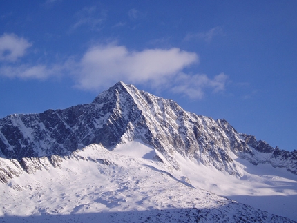
"It's an immense block of ice, big enough to provide material for half a dozen beautiful mountains. But it's just one. For many miles in both length and width it never descends beneth 9500 feet (3078m)". This is how British alpinist Freshfield described the area in 1864 and despite the changes in the climate during the last 150 years, Pian di Neve remains the biggest glacier in Italy and, apart from its famous mountaineering outings, a fundamental water reserve for the North of Italy.
Getting there
Reach Passo Tonale.
Access
Start from Rifugio Caduti dell’Adamello Itinerary
Rifugio Caduti dell’Adamello - Rifugio Garibaldi
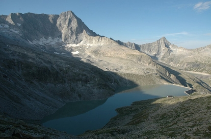
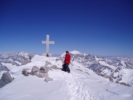
Cross the Pian di Neve (“Snow Plain”) from east to west to raech Punta Venerocolo (3323 metres). This is the route that the Italian soldiers used to drag the cannon to its current position in one night. From the peak, descend towards Lake Venerocolo at the foot of the massive Adamello North face. The Garibaldi hut (2550 metres) is located here and during the War this was part of an Italian military camp, placed here to defend the routes that crossed the glacier. A small chapel is all that remains of that period.
Gear
Backpack (40 litres), harness, crampons, rigid sole mountaineering boots, sleeping sheet, thermos for hot drinks, energy bars and dried fruit, first aid, glacier sun glasses (cat. 4), goretex jacket and trousers, gloves and hat, sun protection, torch, camera, map, pocket knife. Maps/Bibliography
Guida dei Monti d’Italia CAI – Touring Club, Adamello volume I e II, Pericle Sacchi
Nordpress, Adamello Vol.1, Piermario Soregaroli
Map Kompass Adamello 1:25000
www.museoguerrabianca.it
www.parcoadamello.it
www.adamelloski.com
www.guidealpineadamello.it
 Comments
No comments yet...
Beauty


By
Cain Olsen, Adamello Mountain Guides
Orientation
South
Ascent height difference
600 metres approx.
Descent height difference
1100 metres approx.
Height
2500- 3300m
Difficulty
F
Time
5 hours
Period
From June - September
Popularity
Medium
Departure
Rifugio Caduti dell'Adamello
Arrival
Rifugio Garibaldi
Routes in the same mountain group
Related news


 Copia link
 Cain Olsen, Adamello Mountain Guides


