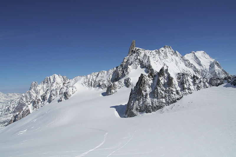
Vallée Blanche from Courmayeur

 1 / 4
1 / 4
Vallée Blanche from Courmayeur
 Planetmountain
Beauty


By
Domenico Giusti, Giorgio Passino
Ascent height difference
0m
Descent height difference
2383m
Height
3407m
Difficulty
2.3, E1
Descent exposition
NNE
Departure
Punta Helbronner, Courmayeur
Vallée Blanche is like Sharon Stone in Basic Instinct: really beautiful, but it’s best not to get too distracted.
Although it might seem a no more than a "scenic walk", never underestimate the Vallée Blanche as it is a route that develops entirely on a glacier with some very delicate sections between the crevasses. It is always recommended to be accompanied by a Mountain Guide or someone that knows the route well and is able to read the conditions accurately.
Getting there
Gear
Reach Courmayeur in Italy.
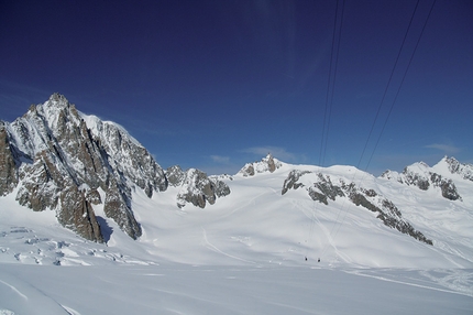
Access- Mont Blanc Cable Car. Take both sections of the cable car and then go up through the internal stairs that connect the Torino Hut to the former Punta Hellbronner station. An elevator has been installed to help people carrying skis and equipment.
- New Mont Blanc Cable Car. Take both sections of the cable up to Punta Hellbronner.
rouTe
Itinerary1. From the exit of the former Punta Hellbronner station, walk left towards the Col Flambeau: this section is slightly uphill, but also groomed by the snowcat, making it easy to walk with skis on your shoulder.
2. From the Col Flambeau, put your skis on and start descending, heading left towards the Aiguille du Midi. Continue on the left and pass through the big serac (there are usually various lines possible) until reaching a plateau which joins the tracks coming from the Aiguille du Midi.
3. Ski on the plateau staying on the left, until reaching a hollow that leads below the Envers du Plan Glacier until nearing the Requin Glacier.
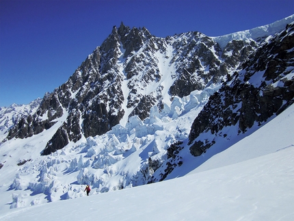
This is the most dangerous section of the itinerary, as the Geant and the Tacul Glaciers meet and the area is full of crevasses, in particular when the snow pack is poor. Usually you cross the serac on the left hand side, but it is extremely important to pay close attention to the crossing point.
4. In this section, it is possible to deviate towards the Requin Hut making a leftwards traverse under the seracs (beware of breakages), or continue heading right where the glacier becomes less inclined under the spectacular serac ("Salle à Manger").
5. Immediately after the Salle à Manger, you enter the Mer de Glace where you can stop and rest. The view is perhaps less spectacular than at the Salle à Manger, but it is a safer place to stop and sometimes it’s possible to take skis off for a more comfortable break.
6. Continue skiing along the Mer de Glace up to the stairs which lead to the Glacier Gondolas and the Montenvers Train Station, from where you can take the train to Chamonix.
VARIANT
7. In case of favourable snow cover conditions (ask before setting off), it is possible to ski directly to Chamonix. In this case, instead of traversing left to reach the stairs to the Glacier Gondolas, continue straight on and ski all the way down on the glacier, up to the moraine bank on the left.
8. Get off the glacier (be careful on exiting the glacier as it can be tricky) and ascend the mountainside on foot until you reach the Bouvette at the Col des Mottets. From here, put your skis on and take the track that leads to Chamonix.
Freeride – Glacier.
Maps/BibliographyMONT BLANC FREERIDE
48 itinerari di freeride nelle vallate di Courmayeur e Chamonix
di Domenico Giusti, Giorgio Passino, Idea Montagna Editoria e Alpinismo
Note: Edizione in italiano, francese, inglese
ISBN: 9788897299370
 Comments
No comments yet...
Beauty


By
Domenico Giusti, Giorgio Passino
Ascent height difference
0m
Descent height difference
2383m
Height
3407m
Difficulty
2.3, E1
Descent exposition
NNE
Departure
Punta Helbronner, Courmayeur
Routes in the same mountain group
Show more in Mont Blanc
Related news
Related mountain huts


 Copia link
 Domenico Giusti, Giorgio Passino

