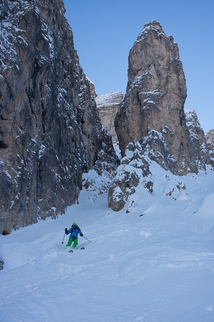
Crep da le Dodesc
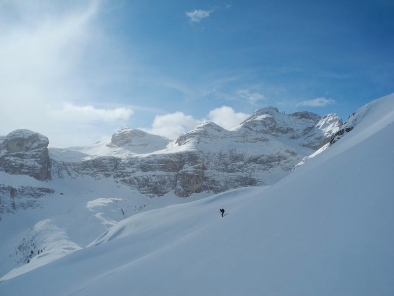
 1 / 4
1 / 4
Crep da le Dodesc: © Enrico Baccanti
 Planetmountain
Beauty


By
Enrico Baccanti and Francesco Tremolada, Alta Badia Guides
Ascent height difference
850m
Descent height difference
850m
Height
2384m
Difficulty
ALP: F, SKI: 2.2, Exp: E1
Time
3 h
Descent exposition
S
Departure
Longiarù in Val Badia
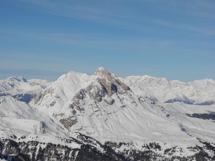
An easy itinerary along the south face of Antersass, should be tackled mainly on transformed snow or even at the beginning of winter, if the snow is stable.
Access
Longiarù in Val Badia is the starting point. Longiarù is reached from San Martino in Badia, which can be easily reached by turning onto the road (244) which joins Brunico to the villages in Alta Badia. Once you cross the town of Longiarù follow the road which climbs up the valley with the same name to the evident car park (roughly 1536 metres). Itinerary
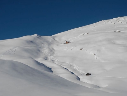
Follow the torrent’s bed and descend towards valley to reach the road which climbs up to Passo Juel (marked n°9). You can follow this road, or better, follow the meadows on its left joining up with it only further on (roughly at an altitude of 1600 m). You will have to leave it and turn right onto a summer path (marked n°9) which climbs straight up through the woods. Further up turn onto another road which you follow heading into the valley. After a nice flat area (cattle gate), climb up a steeper section along open terrain (rarely is it worth keeping up high on the right along the summer path) and you enter the upper part of the valley on the right, which seems shut off on all of its sides by the surrounding rock faces. Once you reach a characteristic and isolated tree (up to this point the ascent is the same as itinerary nCima Puez Est), detour to the right climbing up the slopes diagonally between the rock bands towards the summit of Antersas 2471 m. Leave this on your left and continue straight up the wide slopes towards the summit. Descent
Ski down your uphill tracks with the opportunity to choose a number of variants, especially along the summit slopes. Notes
It is important to choose the right moment to tackle this itinerary, the snow is often warmed up by the sun already by early morning. Other possibilities: The steep north facing couloirs: Crep de le Dodesc or Antersass Maps/Bibliography
 Comments
No comments yet...
Beauty


By
Enrico Baccanti and Francesco Tremolada, Alta Badia Guides
Ascent height difference
850m
Descent height difference
850m
Height
2384m
Difficulty
ALP: F, SKI: 2.2, Exp: E1
Time
3 h
Descent exposition
S
Departure
Longiarù in Val Badia
Routes in the same mountain group
Related news


 Copia link
 Enrico Baccanti and Francesco Tremolada, Alta Badia Guides

